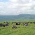
Eurasia is the largest continent on the planet. Its total area (including islands) is over 54 million square kilometers. Therefore, it is not surprising that the inland waters of Eurasia are distinguished by exceptional wealth and diversity. However, they are distributed rather unevenly across the continent. We will describe in detail the geography, features and structure of the inland waters of the mainland in our article.
Climate and inland waters of Eurasia (grade 7)
This topic is studied in detail at school in geography lessons. In the seventh grade, the climate and inland waters of Eurasia are considered as concepts that are closely related to each other. After all, climatic features largely determine the water content and distribution of water bodies in absolutely any territory. So, for example, the high flow of rivers and lakes directly depends on the amount of atmospheric precipitation.
Within Eurasia, there are all that are characteristic of the rest of the continents of the planet. The extreme north is dominated by cold arctic air masses. Seasonality is clearly observed in the temperate zone: there are four seasons (spring, summer, autumn, winter). In Western Europe, a humid one was formed, and in the east and southeast of the continent - monsoon.
In the central regions of Eurasia, the air is greatly cooled in winter, and, on the contrary, it warms up well in summer. Therefore, continental air masses are formed here. In summer they bring heat to different parts of the mainland, but in winter they bring sharp and severe frosts. The most climate-friendly region of Eurasia is the Northern Mediterranean. In the hot summer months, winds from the Atlantic bring moisture and coolness here. They also significantly soften the local winters.
Inland waters of Eurasia depend on the average annual amount of atmospheric precipitation. Their distribution across the continent is extremely uneven. Thus, the peninsulas receive no more than 100 mm of precipitation. But in India, in the state of Meghalaya, there is a place where over 11,000 millimeters of precipitation falls per year.
Inland waters of Eurasia: geography and structure
Inland waters (in hydrology and hydrography) are those waters that are located inside a particular continent. In other words, they include everything besides the seas and oceans, namely: rivers, lakes, swamps, glaciers and others (see the diagram below).
If we talk about Eurasia, then the densest river network was formed in Siberia and Eastern Europe. But in South-West Asia (in particular, on the Arabian Peninsula), there are practically no large watercourses. This continent is home to the world's largest internal flow area. It includes the basins of two "fake" seas - the Caspian and Aral.
What records are known for the inland waters of Eurasia? The table below lists the most important ones. It is important to note that it is on this continent that the largest lake on the planet is located, as well as the world's largest swamp massif.
| Object name and parameters |
|
| Largest lake | Caspian Sea (371,000 sq. Km) |
| The deepest lake | Baikal (maximum depth - 1642 m) |
| The longest river | Yangtze (6300 km) |
| Largest river basin | Ob River basin (2,990,000 sq. Km) |
| The largest swamp massif | Vasyugan swamps (53,000 sq. Km) |
| The largest mountain glacier | Siachen (1,180 sq. Km) |
| Largest reservoir | Bratskoe (5,470 sq. Km) |
Mainland rivers
Consider rivers. The internal waters of Eurasia include tens of thousands of rivers and rivulets of various lengths. The largest of them carry their waters into two oceans - the Pacific and the Arctic (Ob, Yenisei, Yangtze, Yellow River, Lena, Amur and others). Relatively short rivers (Dnieper, Danube, Vistula, Elbe, Rhine and others) belong to the basin of the Atlantic Ocean. Many of them are frozen in winter.
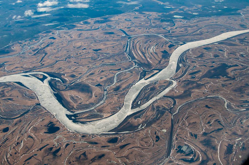
All existing river regimes are represented in Eurasia. In the watercourses of the temperate zone, there is a spring flood and a summer-autumn low-water period. The rivers of the monsoon regions are distinguished by an interesting water regime. For example, the Amur River is characterized by significant fluctuations in the water level in the channel, which are caused by heavy monsoon rainfall in July-October.
Fun fact: the five longest rivers on the mainland are in Asia. Below in the table you can see the ten longest watercourses on the continent.
| River name | Length (km) | Pool area (sq. Km) | Where does |
| East China Sea |
|||
| Yellow Sea |
|||
| Kara Sea |
|||
| Kara Sea |
|||
| Laptev sea |
|||
| Sea of Okhotsk |
|||
| South China Sea |
|||
| Caspian Sea-Lake |
|||
| Persian Gulf |
|||
| Arabian Sea |
Lakes
Lakes on the mainland are also rather unevenly located. Most of them are concentrated in the northern regions of Europe. In particular, the unspoken title of "Queen of the Lakes" belongs to a country like Finland. Most of the bodies of water in Northern Europe are of glacial origin. The second most important "lake edge" of the continent is Central Asia. The largest lakes in this region are the Caspian, Balkhash, Issyk-Kul, and the Aral Sea. The water of these reservoirs is predominantly salty.
The largest body of water in Eurasia is the Caspian Sea. In fact, this is a lake, because it has no flow into the ocean. The total area of the Caspian Sea is 371 thousand sq. km. Its hollow contains about 78 thousand cubic kilometers of water.
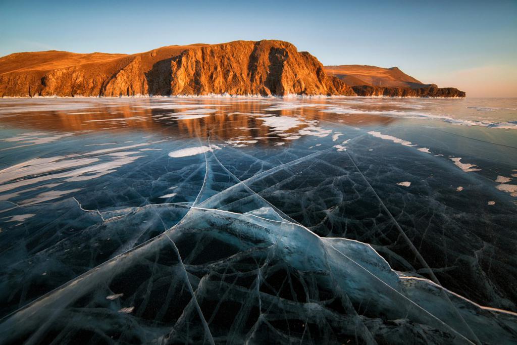
The deepest body of water in Eurasia is Baikal. 1620 meters - this is its maximum depth. The lake was formed in a narrow and deep graben (fault in the earth's crust) about 30 million years ago. According to scientists, this is one of the cleanest bodies of water on the planet.
Swamps
The internal waters of Eurasia are not only rivers and lakes, but also some other water bodies. In particular, speaking about this continent, one cannot fail to mention swamps and permafrost.
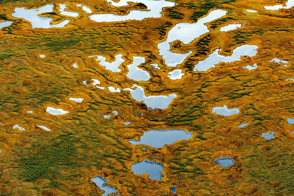
Almost all wetlands are concentrated within the temperate zone of Eurasia. This is facilitated by the low-lying relief and a significant amount of atmospheric precipitation. The swamps of Eurasia feed on both surface (rain) and groundwater. The largest swamp massif not only of Eurasia, but of the entire planet is Vasyugan. It is located in the Tomsk region of Russia, between the Ob and Irtysh rivers.
In the coastal zone of Northern Europe, the so-called marches, or seaside swamps, are widespread. Many of them are now drained and are actively used as agricultural land.
Permafrost is common in the northern and northeastern regions of the mainland. In some places, its southern border reaches 50 degrees north latitude. The thickness of the frozen soil layer varies widely: from 1.5 meters on the Kola Peninsula and up to 1.5 kilometers on the Taimyr Peninsula.
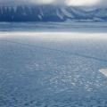
Glaciers
The zone of modern glaciation in Eurasia covers a number of islands (Novaya Zemlya, Spitsbergen, Iceland and others). Mountain glaciers are found in all mountain systems of the mainland, the height of which exceeds 4000 meters (Himalayas, Caucasus, Tien Shan and others).
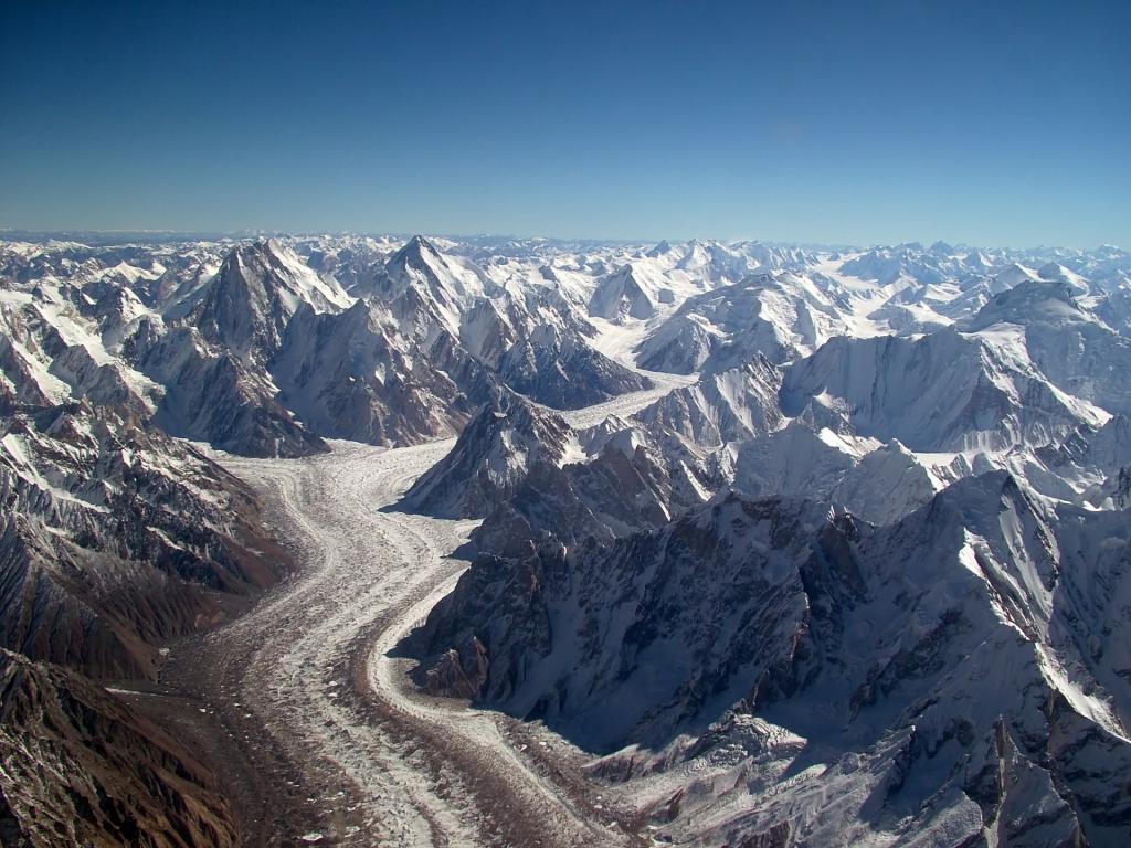
The largest glacier in Eurasia, Siachen, is located in Karakorum. Its area is about 1200 sq. km. The longest mountain glacier on the mainland is the Fedchenko glacier. It is located in the Pamir Mountains and is 77 kilometers long.
Artificial water bodies of Eurasia
A huge number of artificial water bodies - canals and reservoirs - were created in Eurasia. Most of the reservoirs are concentrated in countries such as Russia, China, Kazakhstan, Ukraine. They provide fresh water not only to the inhabitants of these states, but also to heavy industry enterprises. The largest reservoirs in Eurasia: Bratskoye, Bukhtarminskoye, Ust-Ilimskoye, Krasnoyarskoye, Zeyskoye.
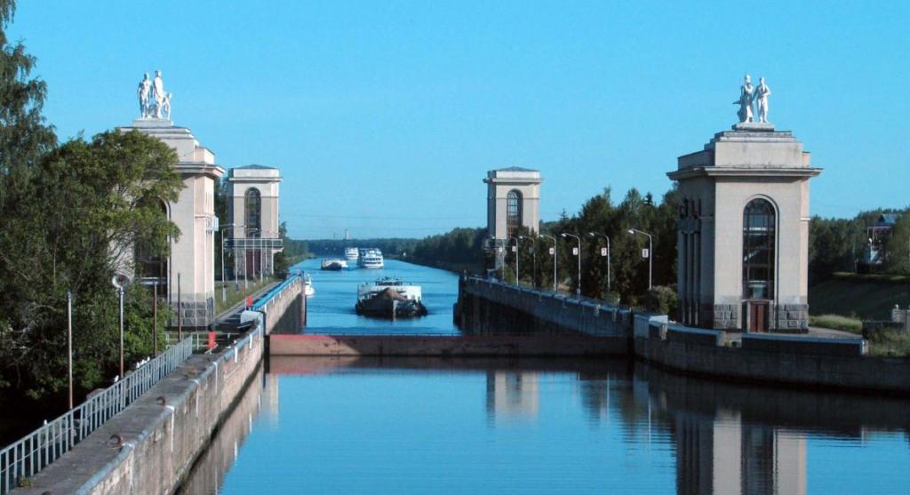
Many artificial irrigation canals have been created in the desert regions of Central and South-West Asia. With their help, water is supplied to particularly arid regions. The largest in Eurasia is the famous one that connected two large river systems - the Don and the Volga. The canal was built in the early 50s. Its total length is 101 kilometers.
Finally
The climate and inland waters of Eurasia cannot be studied separately. After all, these concepts are closely and inextricably linked with each other. A huge part of the mainland is located within the temperate climatic zone with a fairly high humidity. Therefore, a dense and ramified river network with a certain hydrological regime of watercourses (abundant spring floods and autumn-winter low-water periods) has formed here.